The “ACE” Basin is an acronym for the confluence of the Ashepoo, Combahee and Edisto Rivers along the Coastal Plain of South Carolina. It is a rich ecosystem that has been globally recognized for its environmental significance. The area has caught the eye of conservationists and outdoors enthusiasts — identifying it as key wetland habitat for wintering waterfowl and neotropical birds. In addition to its natural value, there are unique cultural and archaeological characteristics of properties in the ACE Basin area that narrate a complex history.
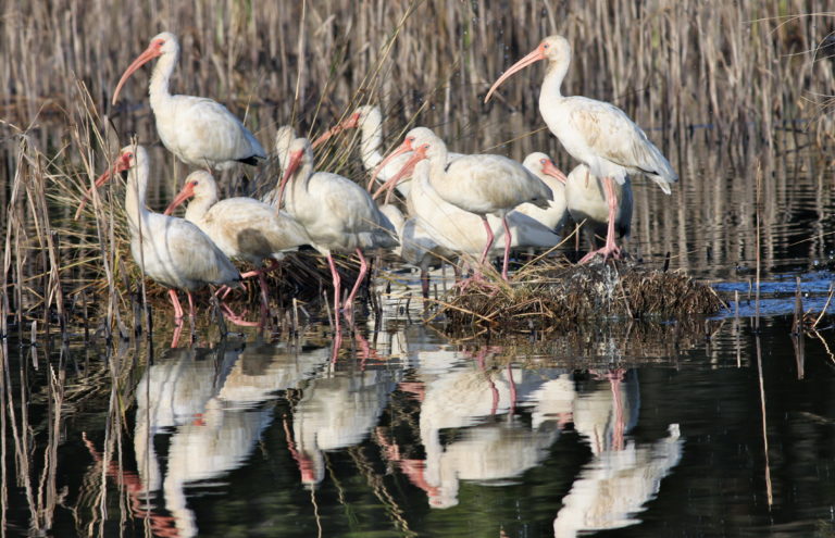
American White Ibis in the ACE Basin
Protecting the ACE Basin
Spearheading the effort to protect this area is the ACE Basin Task Force. Chaired by private landowners since its inception in 1989, the Task Force is comprised of various entities who operate under a strict volunteer-based memorandum of understanding. The Task Force has identified a “focus area” of approximately one million acres that significantly impact the estuary.
A Crucial Collaboration
In August of 1989, John Frampton, Coy Johnston, and Mike Prevost assembled over 100 landowners and challenged them to protect the wonderful ecosystem of the ACE River Basin in the Lowcountry of South Carolina. Matt Connolly, the Executive Director of Ducks Unlimited at the time, challenged them to do this not for themselves but for their children. Many of those original attendees have since passed — giants like Gaylord, Dorothy and Strachan Donnelley, Diane Terni, Gene Dupont, Dr. Jim Timmerman, Holly Richardson, Fritz Hollings and others. Yes, Matt Connolly was correct: they did it for us.
The Goal of the ACE Basin Task Force
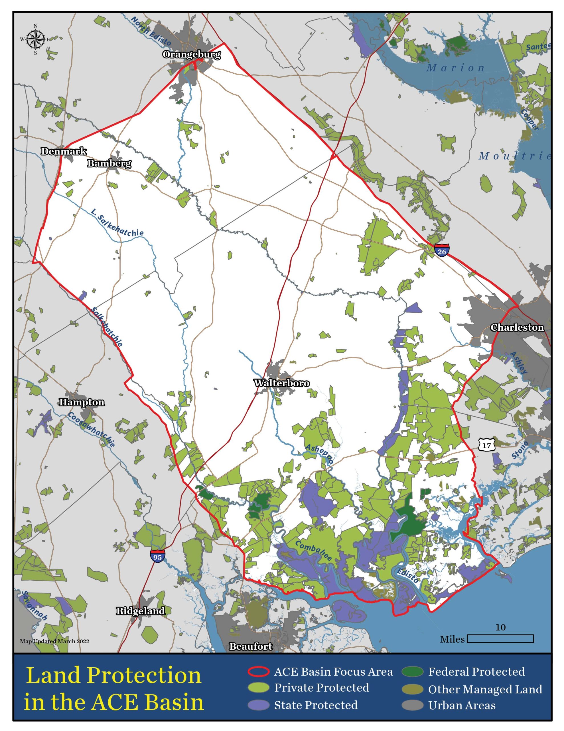
ACE Basin Map, March 2022 | Click to view full size
The original goal of this “ACE Basin Task Force” was to protect 90,000 acres. As of its 30th anniversary celebration in 2019, the ACE Basin passed the 300,000-acre mark. 83% of that protected land represented private initiatives – primarily via conservation easements. Since 1989, over 275 individual easements have been signed and recorded in the ACE Basin. This is a remarkable achievement. Without the efforts of the State and Federal government to promote public land, the ACE Basin would never have achieved the community support it now has.
Success Beyond Land Protection
While protected acres are good measure, the ACE Basin has seen so much more accomplished throughout the years:
Senator Chip Campsen authored the Conservation Bank legislation.
The US Army Corps of Engineers approved a general permit for the repair and maintenance of rice fields
The Residents of Edisto Island established a federally-designated scenic highway across the Island.
Highway 17 has been designed in such a way as to preserve its scenic qualities, reduce its ecological impact and provide safe travel.
Folk Land Management, Nemours WF and Clemson University teamed together for the mapping of our historic rice fields. Interestingly, this team is also researching the amount of material moved by hand by enslaved africans in order to create the rice fields. They estimate it to be 23 times the amount of material moved by hand to build the pyramids in Egypt. View July 2022 Press Release
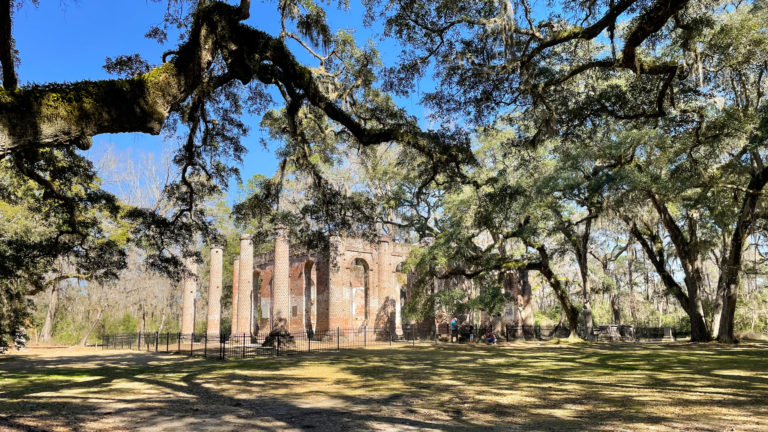
Prince William's Parish Church "The Old Sheldon Church Ruins" Circa 1751-57, Beaufort County.
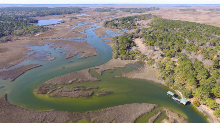
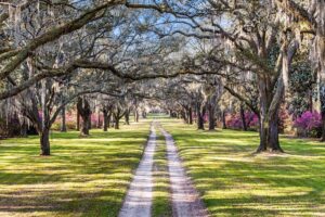
Jehossee Farms (Jehossee Island) on Edisto Island, Permanently Protected Land in the ACE Basin
Property in the ACE Basin
There may be opportunities for you to invest in future generations through personal property ownership in the ACE Basin. Please complete the form below and one of our land agents will reach out to you with more information on current offerings.
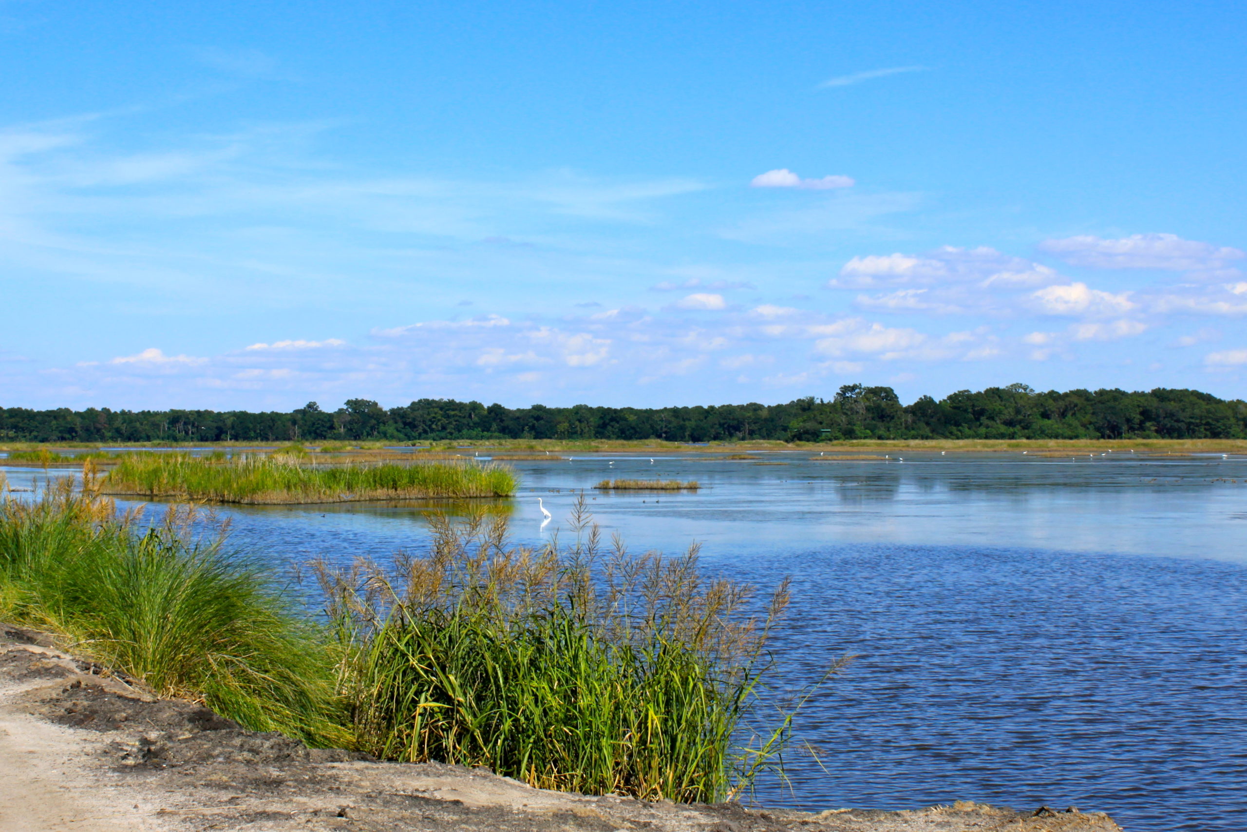
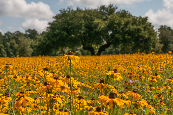
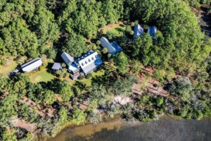
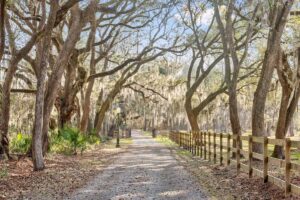
Longbrow Paul & Dalton in Green Pond, SC
Longbrow Paul & Dalton in Green Pond, SC
Longbrow Paul & Dalton in Green Pond, SC
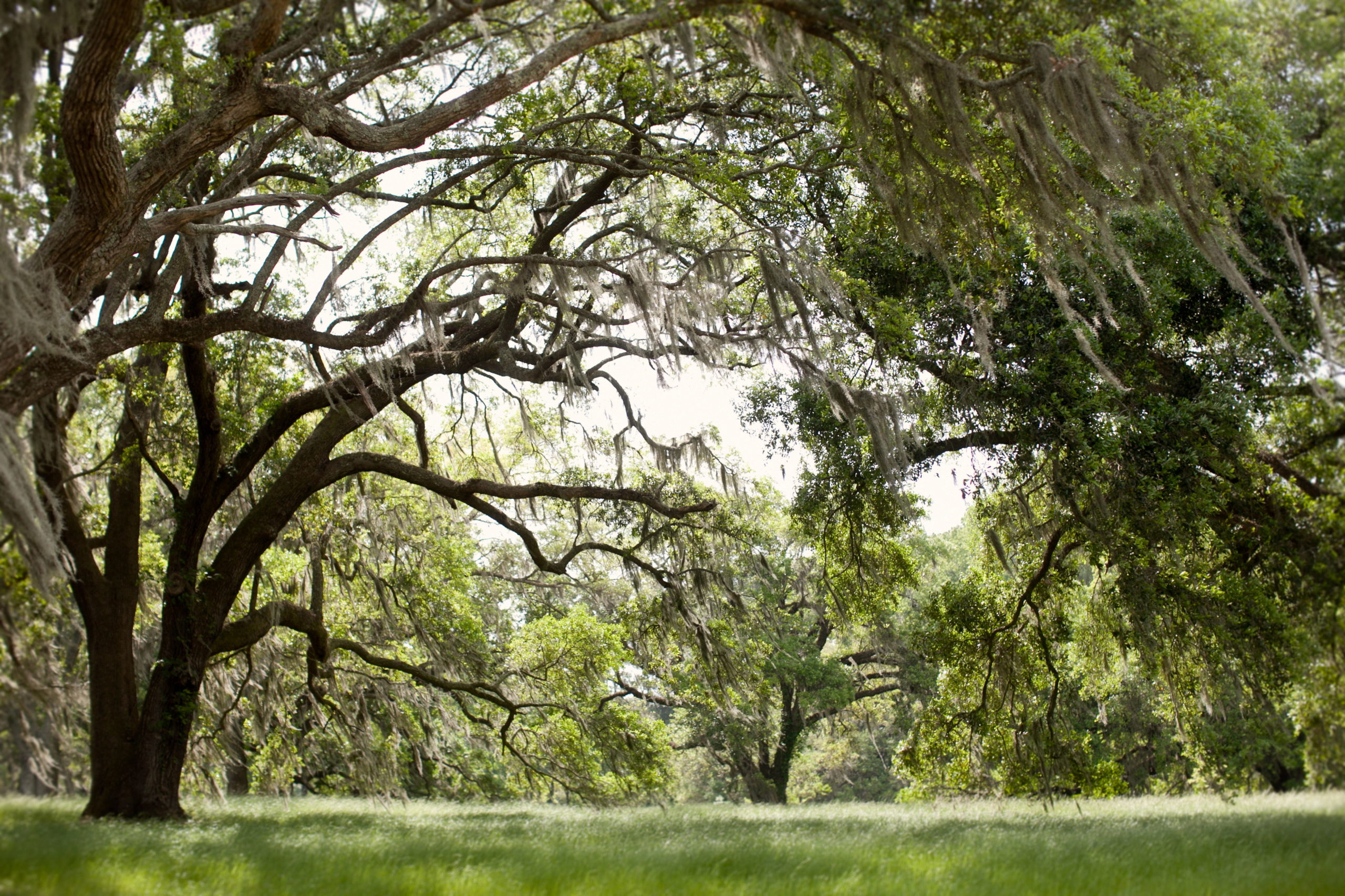
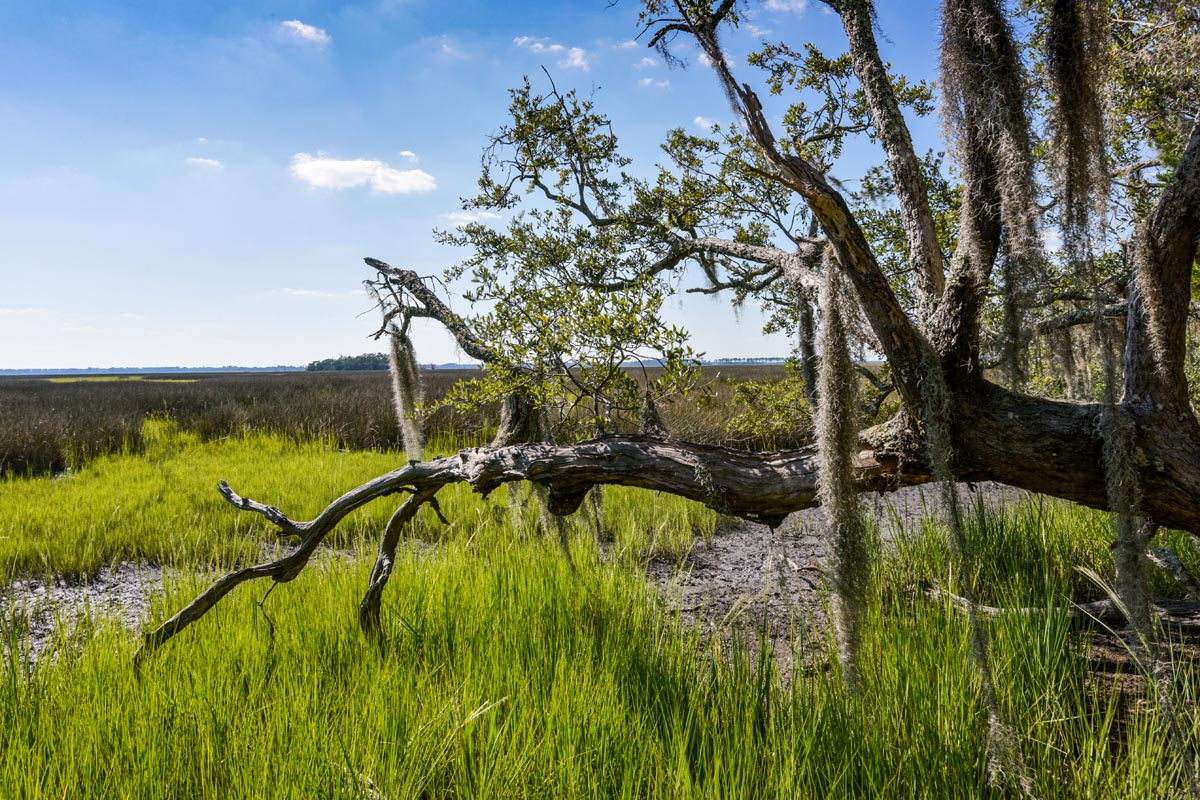
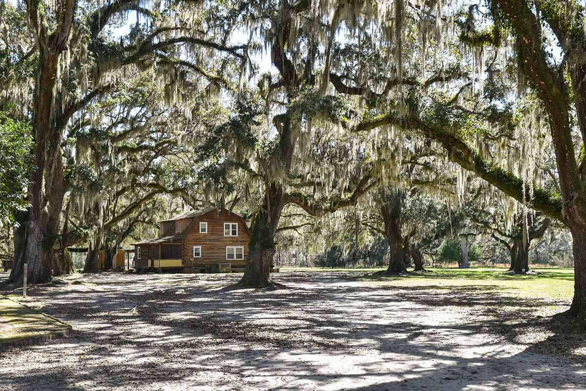
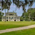
Willtown Plantation in Adams Run
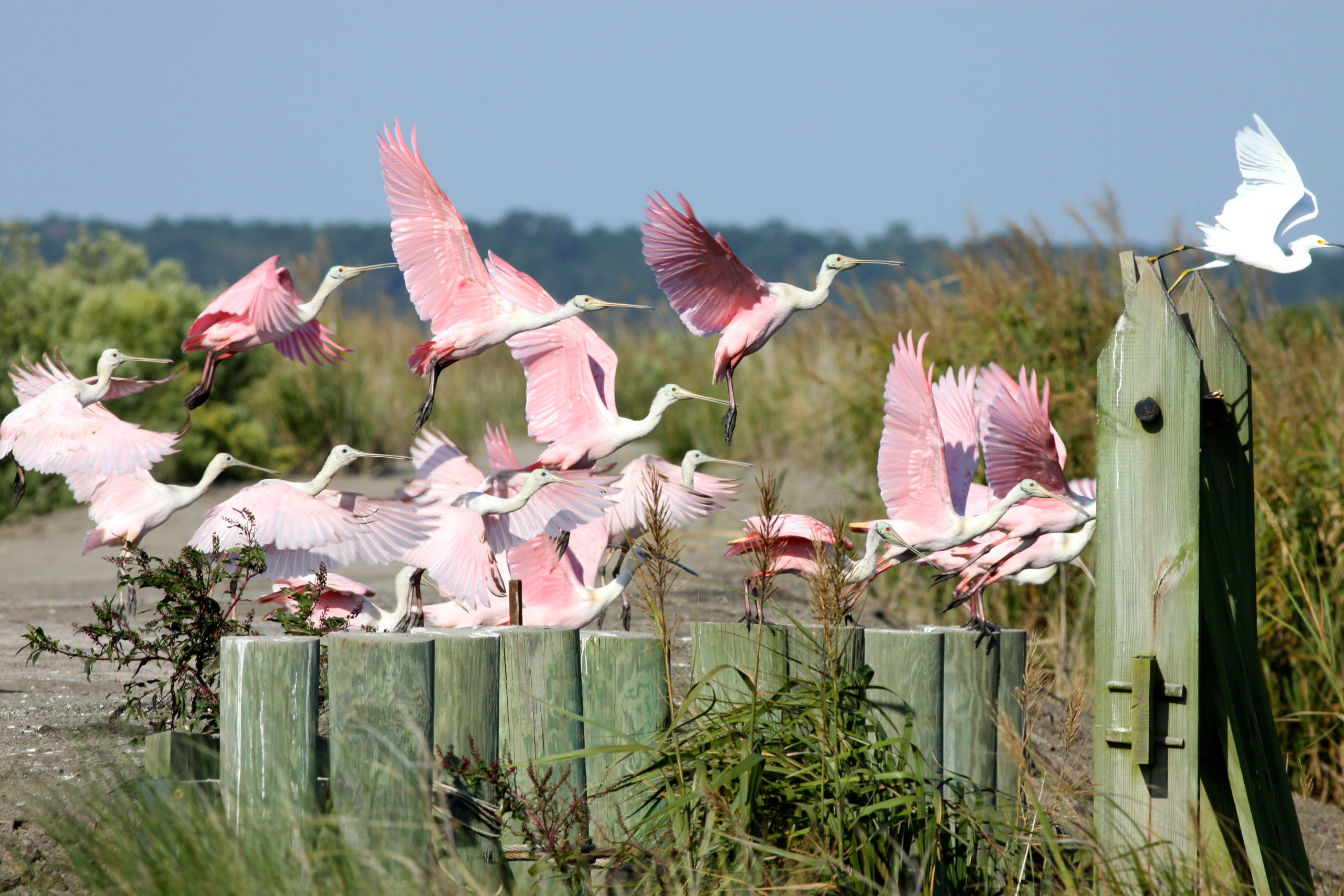
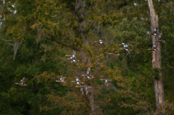
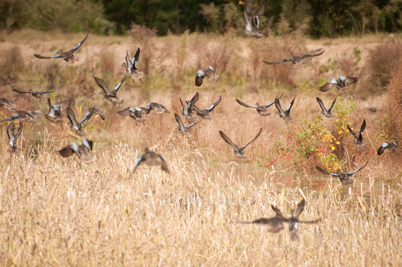
Roseate Spoonbills at Longbrow Paul & Dalton in Green Pond, SC
Willtown Plantation in Adams Run
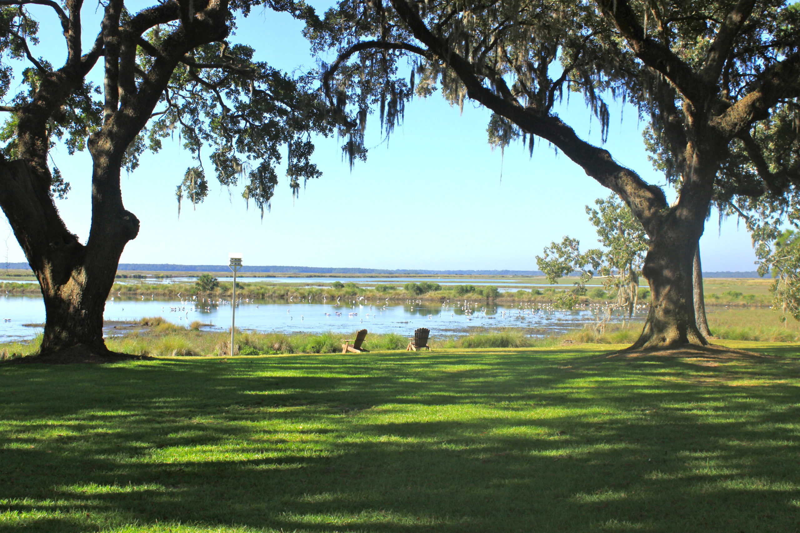
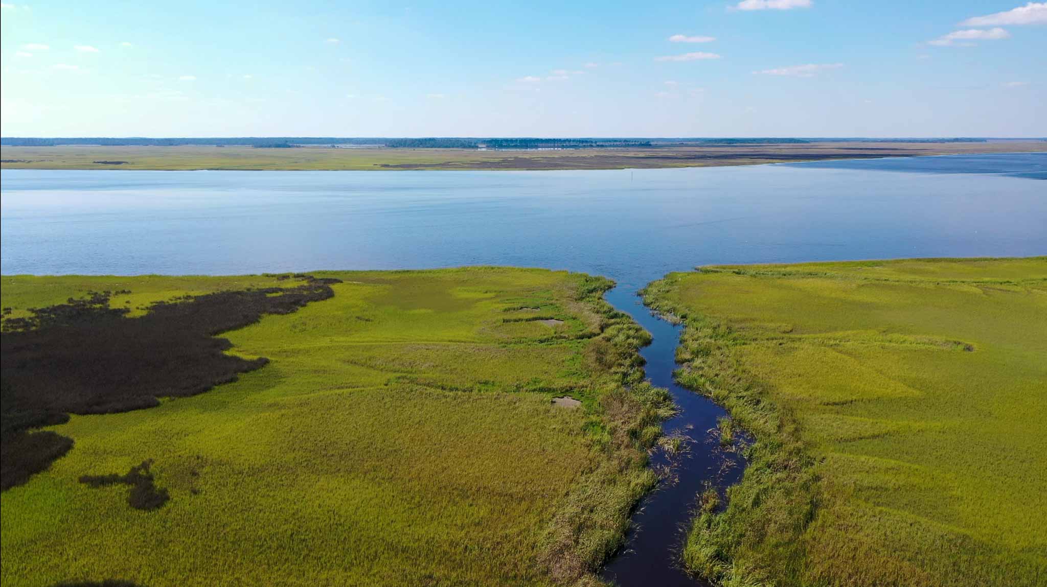
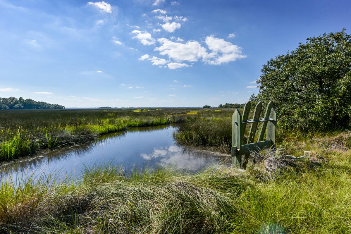
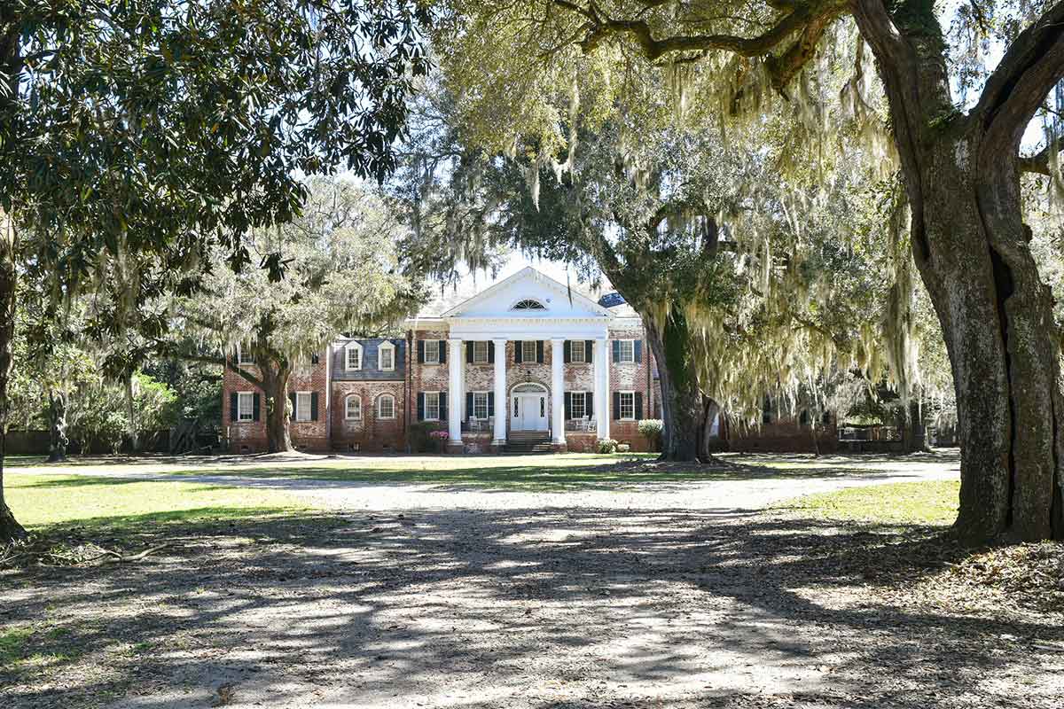
Salt Point on Edisto Island
Salt Point on Edisto Island
Oregon Plantation, Green Pond
Salt Point on Edisto Island
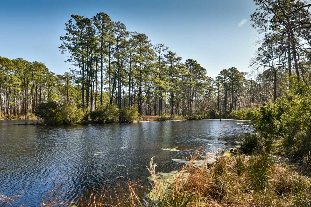
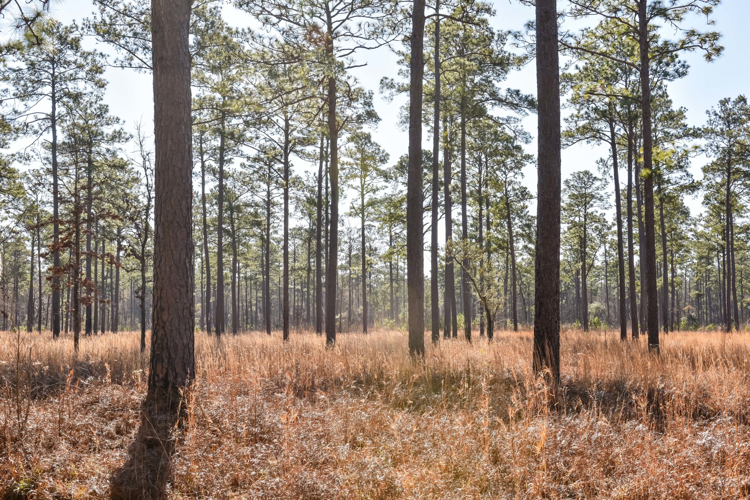
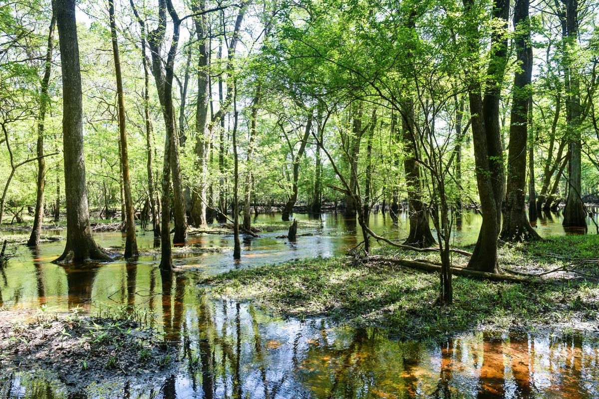
Salkehatchie Woods on the Combahee River, Early Branch
Salkehatchie Woods on the Combahee River, Early Branch